1/8






خريطة الشارع المفتوحة
3K+Завантаження
3.5MBРозмір
1.0(28-01-2020)Остання версія
ДеталіВідгукиВерсіїІнформація
1/8

Опис програми خريطة الشارع المفتوحة
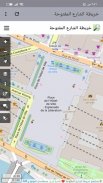
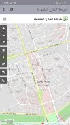
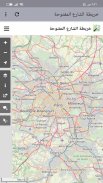
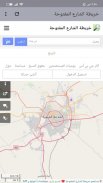
خريطة الشارع المفتوحة هو مشروع تعاوني يهدف إلى إنشاء خرائط منشورة برخصة حرة. تُرسم الخرائط بطريق جمع البيانات الجغرافية بالمسح الأرضي باستخدام مستقبلات نظام التموضع العالمي المحمولة، و كذلك بالاستعانة بمصادر حرة أخرى. يمكن للمستخدمين تحرير المسارات والطرق وتحديثها من خلال وسائل التحرير المتاحة.
OpenStreetMap is a collaborative project that aims to create maps published with free license. Mapping is done by collecting geographic data by surveying the GPS using portable GPS receivers, as well as by using other free sources. Users can edit and update tracks and methods through the available editing methods.
خريطة الشارع المفتوحة – Версія 1.0
(28-01-2020)خريطة الشارع المفتوحة - інформація про APK
Версія APK: 1.0ID пакета: com.andromo.dev924507.app1073760Назва: خريطة الشارع المفتوحةРозмір: 3.5 MBЗавантаження: 3.5KВерсія: : 1.0Дата випуску: 2020-01-28 18:58:54
Мінімальний екран: SMALLПідтримуваний процесор: ID пакета: com.andromo.dev924507.app1073760SHA1 підпис : E4:47:63:A6:69:EA:E7:06:12:1C:8F:C5:37:00:94:65:9A:31:0C:9BМінімальний екран: SMALLПідтримуваний процесор: ID пакета: com.andromo.dev924507.app1073760SHA1 підпис : E4:47:63:A6:69:EA:E7:06:12:1C:8F:C5:37:00:94:65:9A:31:0C:9B
Остання версія خريطة الشارع المفتوحة
1.0
28/1/20203.5K завантаження3.5 MB Розмір


